📅 When to Go Best: May to October (Dry winter / clear skies).
Avoid: November to April (Altiplano rainy season / mud risks).
🌡️ Temperatures Daytime: 15°C to 20°C (59°F to 68°F) — Intense high-altitude sun.
Nighttime: Drops rapidly to 2°C to 10°C (23°F to 14°F).
🛣️ Road Conditions Surface: [e.g., 10% Asphalt / 90% Loose Gravel & Corrugation].
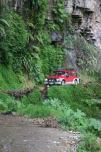
Vehicle Rec: 4×4 highly recommended due to steep grades and washouts.
Hiking the World’s Most Dangerous Road
A Day on the Ledge (The Chuspipata Start)
To most people, Bolivia’s El Camino de la Muerte is a high-speed checklist item to fly down on a mountain bike. But for me, from 1984 to 2010, it was simply the road home. I spent over twenty years navigating these single-lane cliffs to build and run Hotel Esmeralda in Coroico, opening our doors right for Easter in 1994.
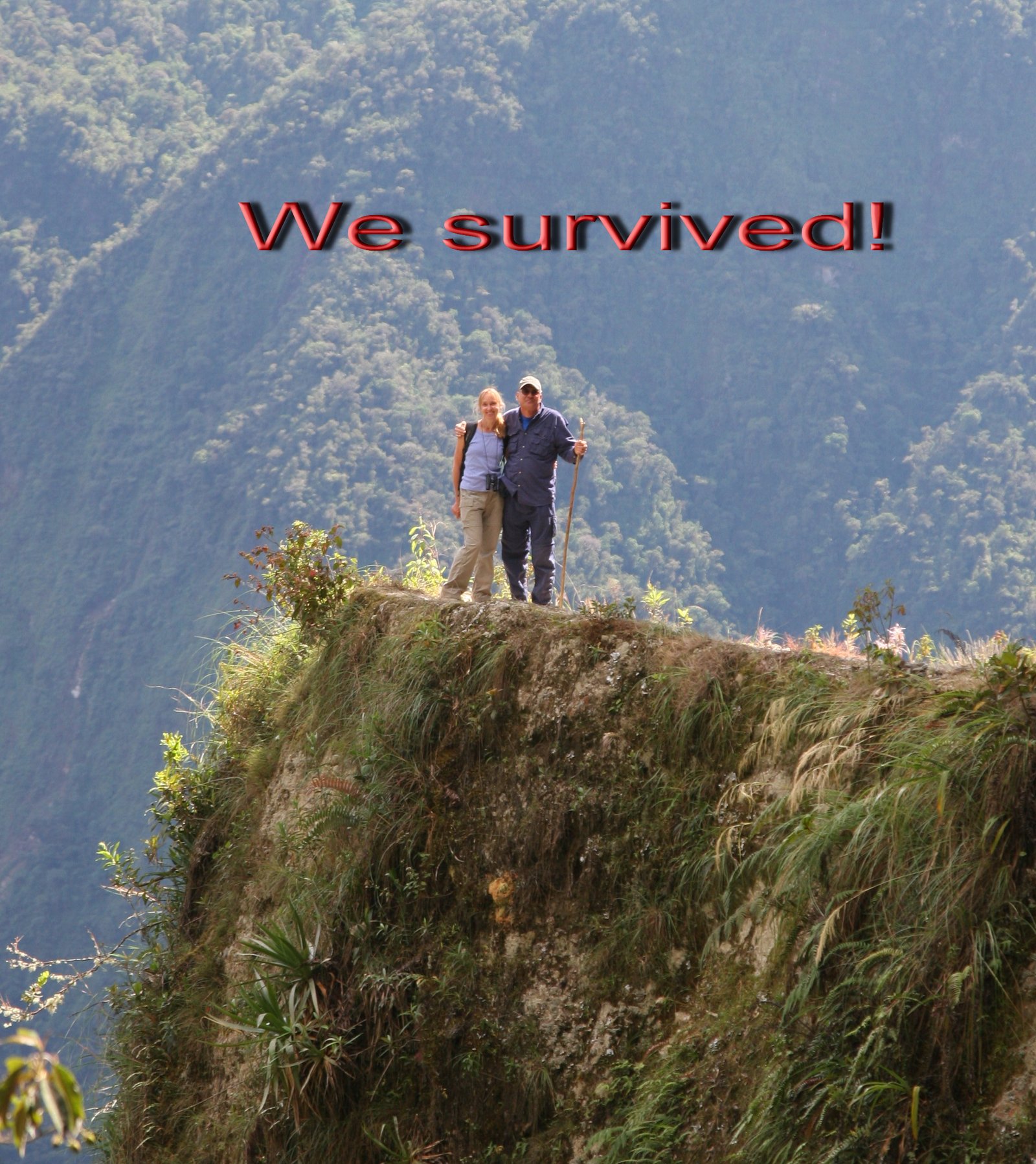
When the modern bypass highway opened in 2006, it transformed the region. The heavy trucks vanished, and I realized the best way to respect the history of this canyon wasn’t on wheels, but on foot. So, I started offering guided hikes. Here is exactly how we ran the perfect trekking day.
🎒 What to Wear & Pack (With Recommended Gear)
Because this journey climbs up from the valley and drops you into shifting microclimates, your gear choices are your lifeline. Below, I’ve linked some of the exact, highly-rated gear setups that will keep you safe on the ledge.
- 🥼 Layered Clothing is Mandatory: You will start the morning climbing through biting alpine cold or dense mountain fog at Chuspipata, but by midday, you will be descending into thick, subtropical heat. Wear moisture-wicking layers, a fleece, and a packable windproof/waterproof jacket that you can easily shed as the air warms up.
- Recommended Gear: A lightweight, breathable Packable Rain Jacket is perfect for surviving the sudden mountain downpours and waterfalls.
- 🥾 Firm, Sturdy Footwear: Do not attempt this trail in light sneakers or sandals. The road surface is 90% loose gravel, sharp rock, and uneven corrugation. Heavy-duty hiking shoes or sturdy hiking boots with solid ankle support and deep tread are non-negotiable to prevent slips on the loose rock.
- Recommended Gear: Invest in durable Ankle-Support Hiking Boots with deep traction before taking your first step.
- 🦟 High-Strength Insect Repelent: As you descend the 12 km pass and enter the lower, humid valleys near Yolosa, the jungle bugs and sandflies come out in full force. Bring a repellent with a high DEET or Picaridin content to save yourself from relentless bites.
- Recommended Gear: Keep the bugs at bay with High-DEET Insect Repellent Spray.
- 🧴 Sunscreen & UV Protection: Don’t let the cool mountain breeze fool you; the high-altitude sun is incredibly intense and burns skin rapidly. Pack a broad-spectrum SPF 50+ sunscreen, high-quality UV-blocking sunglasses, and a wide-brimmed hat to protect yourself during the sunny stretches.
- Recommended Gear: Protect your face and lips with Broad-Spectrum SPF 50+ Sunscreen & Lip Balm.
- 🔋 Fully Charged Media Devices & Power Banks: Between the sweeping canyon vistas, roaring waterfalls, and historic roadside markers, you will be taking dozens of photos and videos. The rapid temperature drops and altitude shifts can drain phone and camera batteries unexpectedly fast.
- Recommended Gear: Never run out of juice mid-hike; carry a Heavy-Duty Portable Power Bank.
📚 Featured Books: Read Up on Bolivia Before You Go
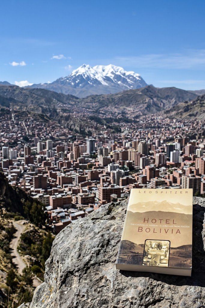
If you want to fully immerse yourself in the rugged spirit, politics, and history of the Andes before your feet hit the gravel, these books are highly recommended additions to your Kindle or travel bag:
- Bolivia: A Traveler’s Literary Companion – A collection of short stories by Bolivian writers that will give you a deep, visceral sense of the country’s diverse landscapes and complex cultures before you arrive.
- The Chaco War 1932–35 – To understand the road, you have to understand who built it. This historical read breaks down the brutal conflict between Bolivia and Paraguay, detailing the war that led to Paraguayan prisoners of war carving the Yungas Road directly out of the mountain cliffside.
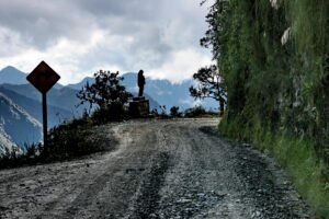
The Morning Climb: Leaving Coroico Behind
A proper hike of the Death Road doesn’t start at the top of the pass at La Cumbre. It starts early in the morning in the subtropical warmth of Coroico, where you hop into a vehicle with a seasoned local driver.
The drive up the mountain sets the entire tone for the day:
- The Sunny Route: On dry, clear mornings, we would drive directly up the old dirt Death Road itself, giving hikers a thrilling preview of the sheer cliffs they were about to walk.
- The Rainy Morning Alternative: If the Yungas woke up to heavy rain, safety came first. We would climb the mountain via the new paved highway, bypassing the slickest mud and rockfalls to drop us safely at the top.
- But the mountain always has a surprise waiting. Just as we would reach Chuspipata around 10:00 AM, the clouds would suddenly lift and the sun would come out. In a matter of minutes, the gloomy, stressful rainy drive would dissolve into brilliant sunlight, revealing the vast, green canvas of the canyon below us. It was the ultimate green light from nature to lace up our boots and start the trek.
Either way, our destination was always Chuspipata—the official, unpaved gateway where the old road splits off into history.
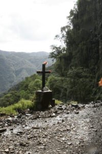
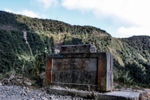
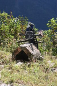
The Monument at Chuspipata: The Ghosts of 1944

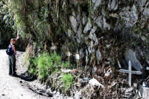
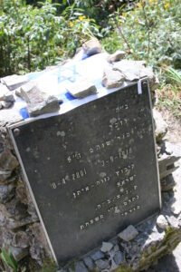
Right where the unpaved road begins stands a small, somber stone monument that many tourists walk past without a second thought. But this isn't a memorial for a car crash. This marker stands in memory of a dark chapter in Bolivia's political history: the November 1944 Fusilamientos de Chuspipata.

During the regime of Gualberto Villarroel, a group of political prisoners and revolutionaries were brought up to this exact freezing ledge, executed, and cast over the sheer 300-meter cliff into the jungle below. As the morning fog swirls around the stone, it acts as a silent witness to the ghosts of the road's past. It is a stark reminder to every hiker that this beautiful canyon has always demanded absolute respect, long before it ever became a tourist trail.

The Yungas Road was built in the 1930s during the Chaco War by Paraguayan prisoners.
The Trek Begins: Chuspipata to the Yungas
Dropping out of the vehicle at Chuspipata, the air is crisp, the fog is often thick, and the mountain is completely silent. This is where your boots hit the gravel.
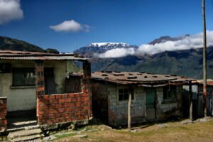
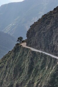
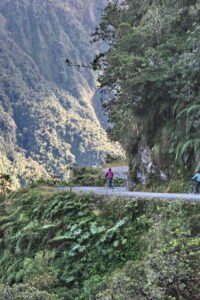
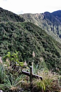
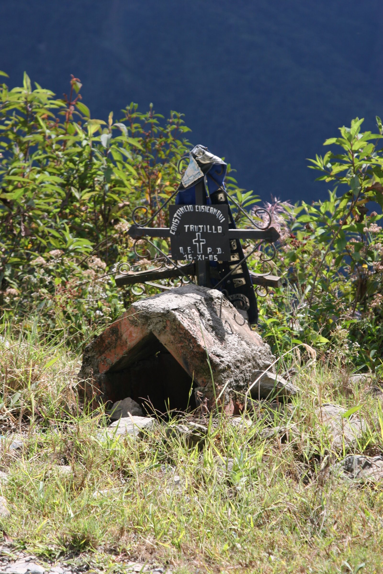
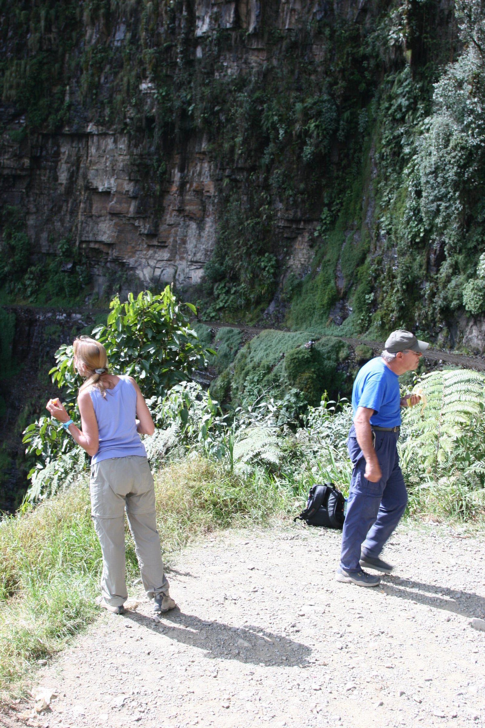
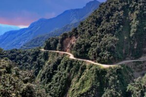
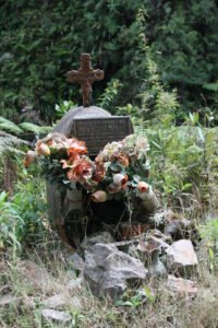
Because we start at Chuspipata, you are immediately immersed in the most dramatic scenery the road has to offer. Unlike mountain bikers who race past the scenery at 40 km/h, hiking allows you to slow down and truly absorb the psychological gauntlet of the landscape. You have the time to look over the guardrail-free edge, to see the historic cross markers honoring those lost in the 90s, and to watch the alpine vegetation slowly give way to lush, green jungle as you descend.
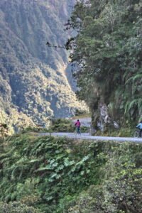
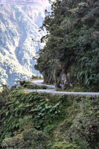
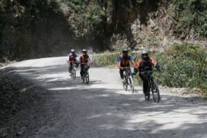
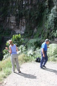
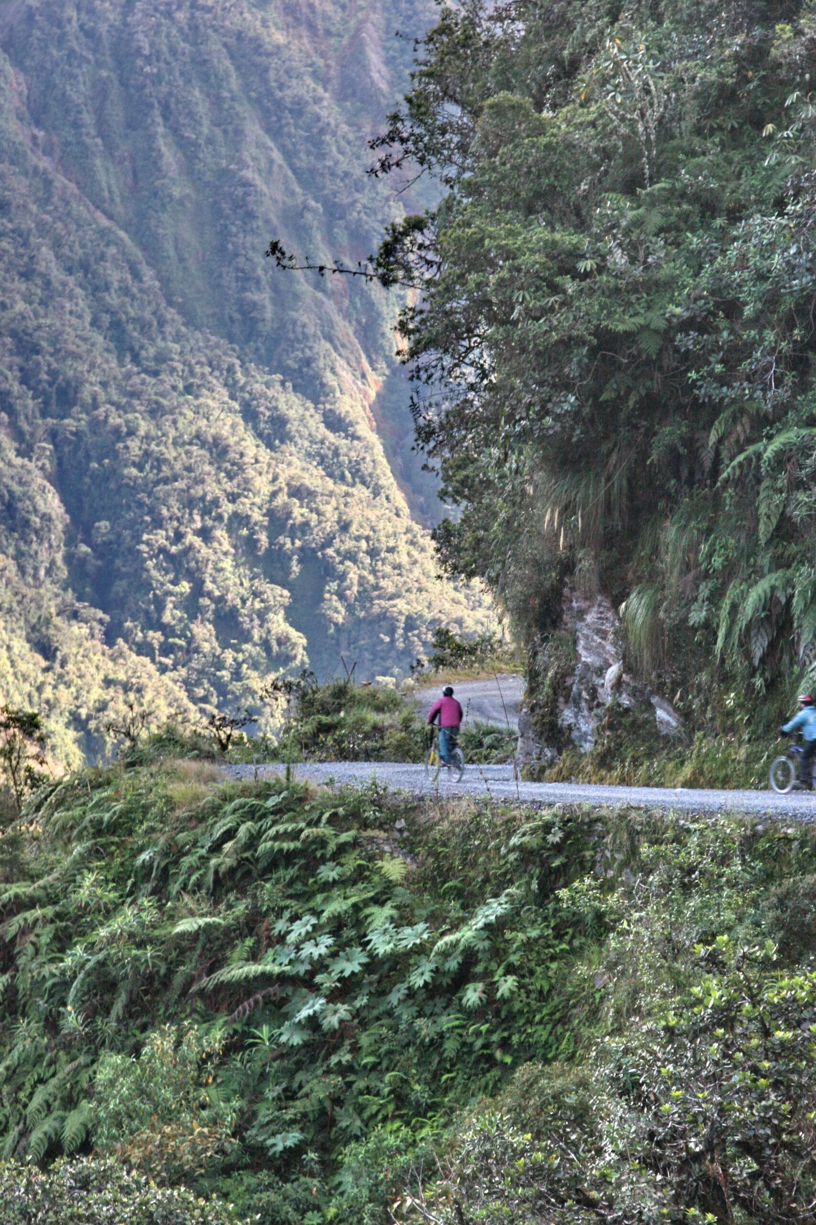
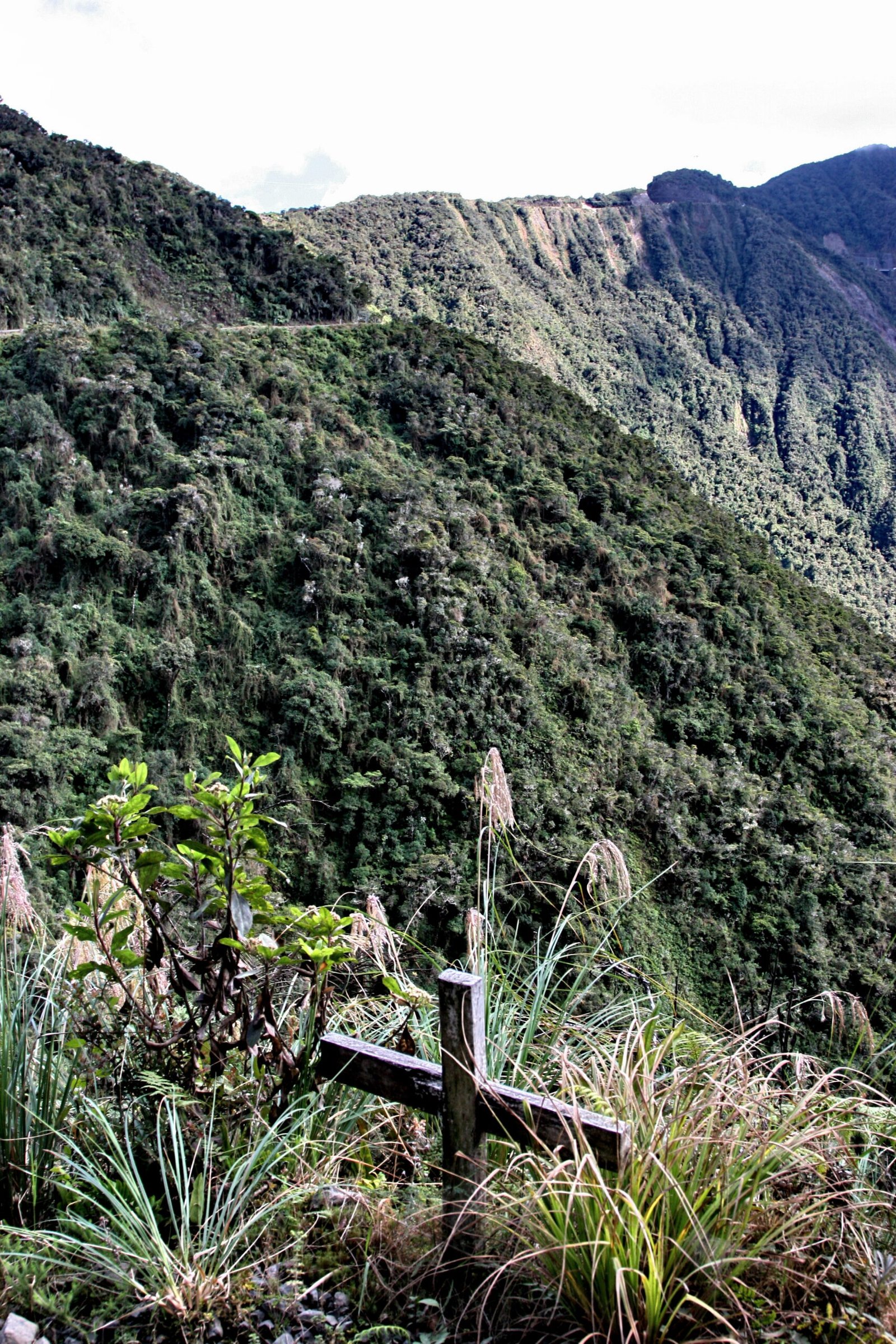
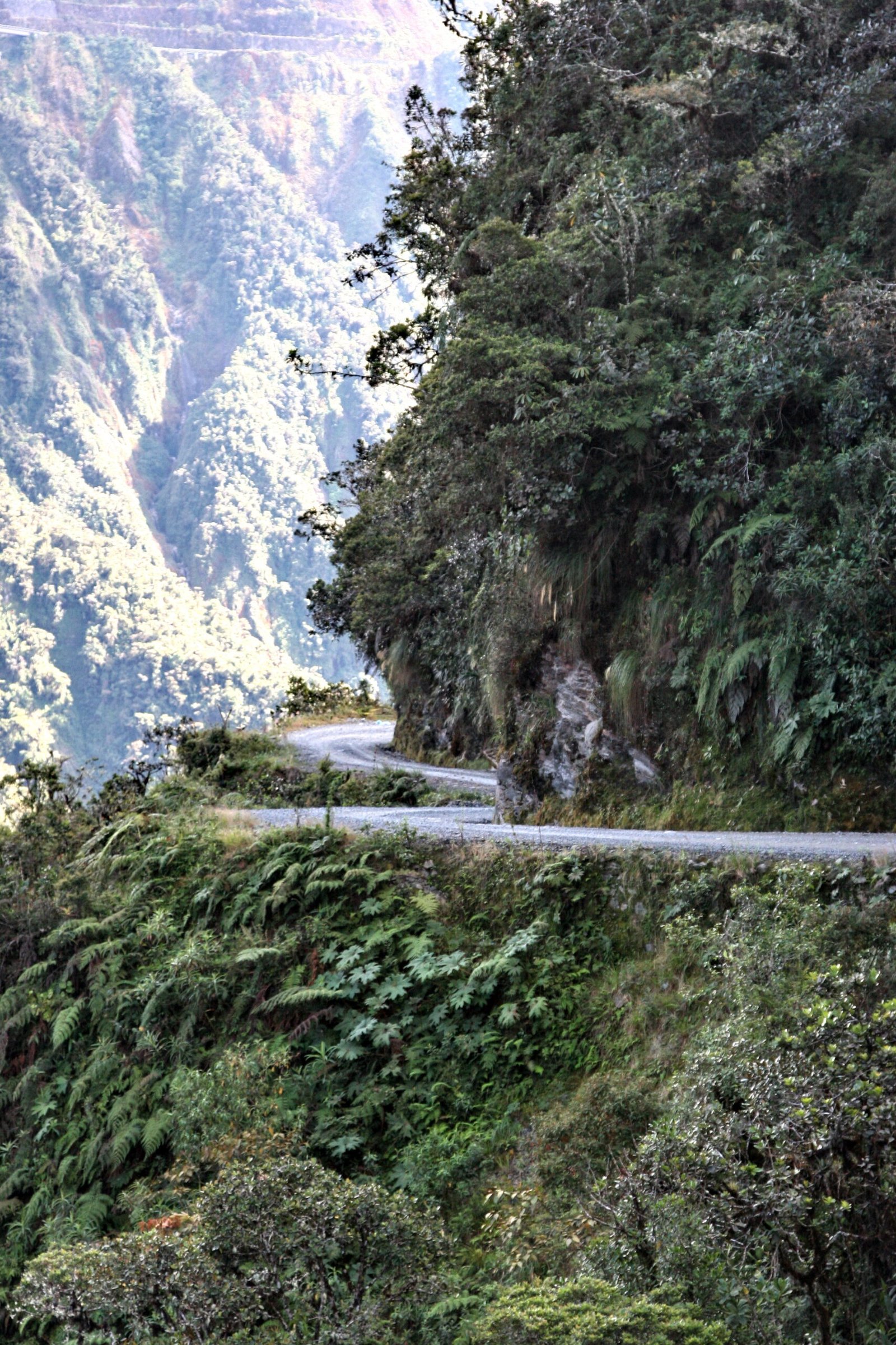
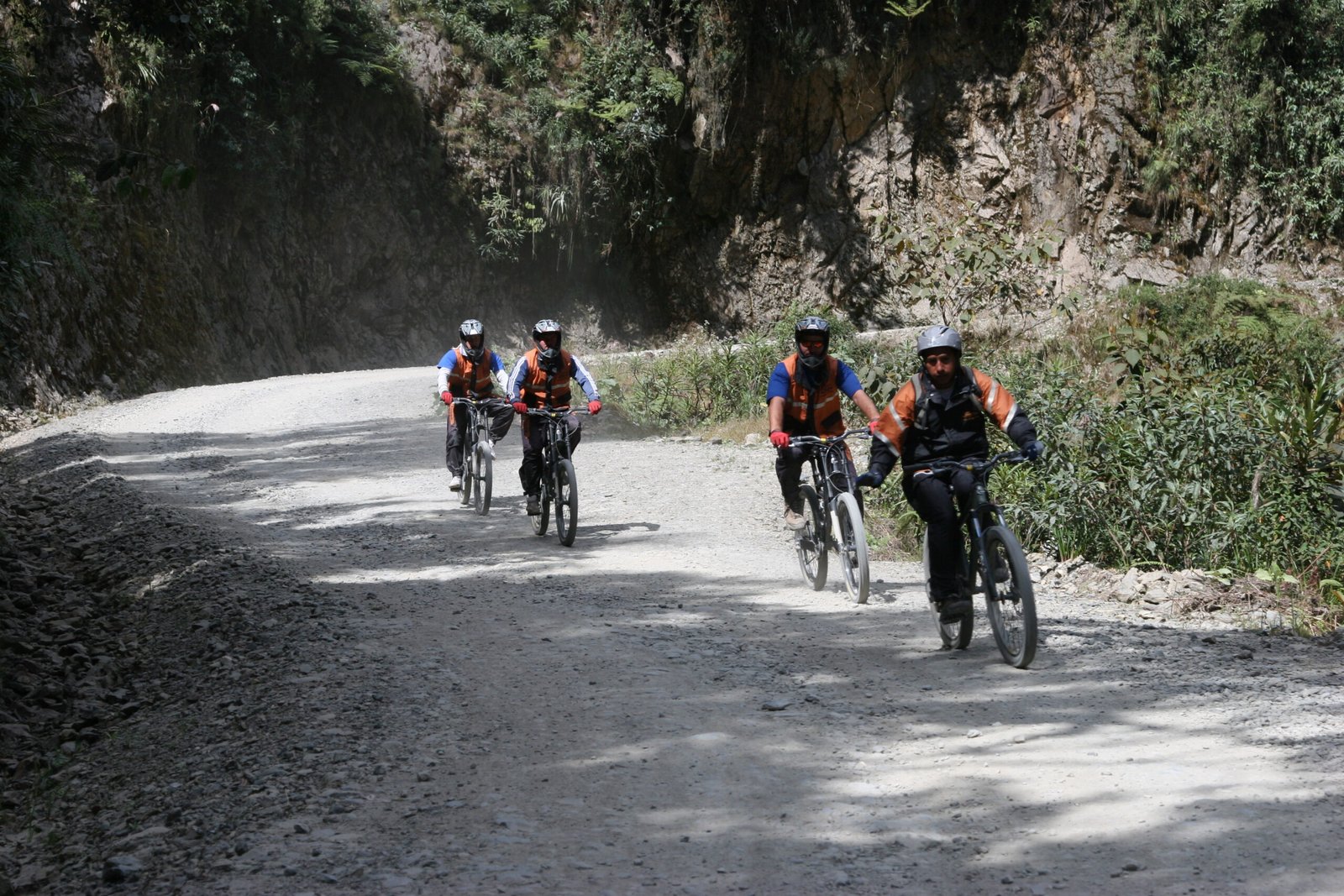
The Gauntlet: Waterfalls and Memories
A💦 The Gauntlet: Waterfalls and Memories
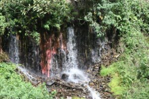
As the hike progresses, the air grows warmer and more humid. Soon, you hear it before you see it: a roaring waterfall cascading directly onto the dirt path.
When my hiking groups walk underneath that freezing mountain water, I always stop them to share what it was like in the 1990s. I point to the narrowest ledge and tell them about driving my supply truck right through that waterfall. In those days, you drove on the left-hand cliff edge so you could watch your tires relative to the abyss. You would hit these curves blasting your horn blindly into the mist, with Bolivian pan flute music playing on the radio, praying a massive bus wasn’t barreling around the corner from La Paz.
This exact roaring cascade is also where the legendary and tragic 1980s bus crash occurred, an event that deeply marked the road’s lethal reputation. Walking it today is peaceful, but the ghosts of that adrenaline—and that history—still linger under the falling water.
🏁 The Finish Line: From the Ledge to the Oasis
After a thrilling 12-kilometer foot trek that takes you past the tightest, most hair-raising spots on the old road, your boots finally leave the gravel. To ensure a comfortable and safe journey for the rest of the descent, we hop back into our accompanying support vehicle.
From there, we drive down toward the small town of Yolosa. As the vehicle descends, you can physically feel the mountain air transforming. The cool mist completely gives way to lush, tropical warmth as the road transitions through beautiful scenery—winding directly past vibrant banana groves and the very first mandarin plantations of the valley.
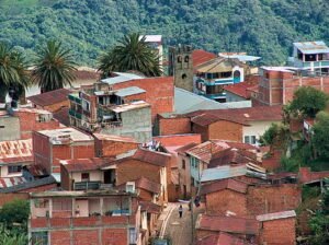
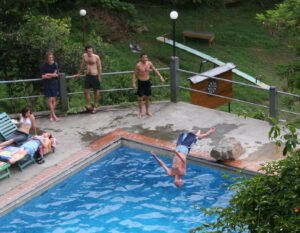
Once past Yolosa, the road leads us to our final destination: Hotel Esmeralda in Coroico. Stepping into the hotel grounds after that journey feels like entering an entirely different universe. As the dust and adrenaline fade, you get to sit pool-side in a true subtropical paradise, cold drink in hand, looking back up at the massive green canyon walls you just conquered.